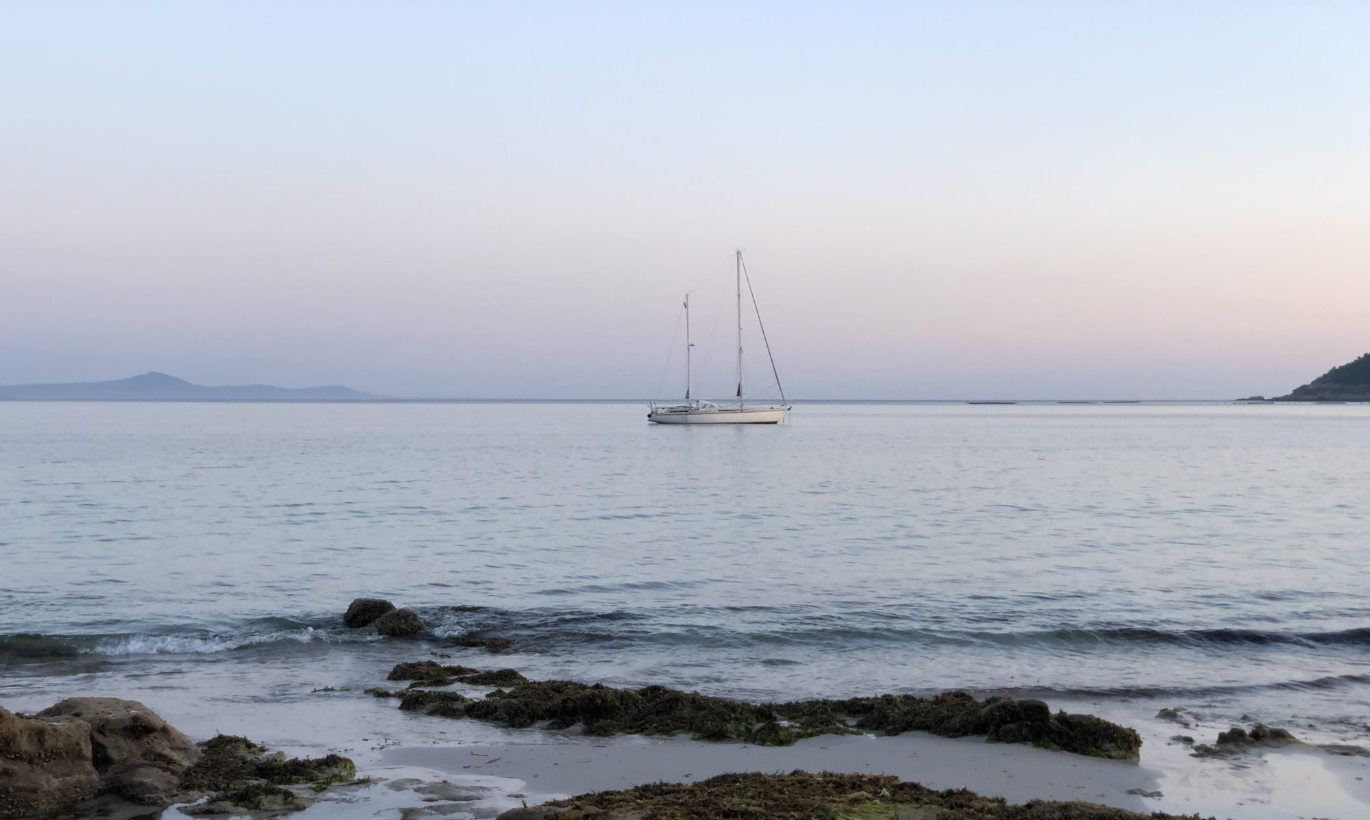
Another remote island, an atoll consisting of 27 mini-islands in the middle of nowhere, specifically in the Indian Ocean, three and a half days sailing from Christmas Island.

TO MAKE A LANDFALL
We want to arrive in daylight, so we can anchor safely on sand and not on one of the many coral heads. We have adjusted the sails, so we go slower. It’s early when we cross the sea border of Cocos, 12 nautical miles out. We have read that Border Force opens at 8am, so we keep approaching. The police call us at 7.30 on the VHF. They want to check the formalities: number of people on board, nationality, any animals or weapons on board and where we are from.
Even in daylight, approaching the anchorage is quite scary. There is a red and a green stick that marks the entrance, but there is also another stick that confuses us, and it looks dark everywhere, equal to coral, in the otherwise turquoise water. We turn back and call the police and ask. Better to appear stupid than a besserwisser going aground. The boat that came after us made almost the same mistake before we pointed him in the right direction. And just now another ship comes in, also without reading the entrance sticks correctly. This time the police spotted them and let them stay out there – I guess, until they have done the clear-in-procedure.
We pass the dark part and anchor on white sand. Many reef sharks circle around to say hello. And after a short while the police arrive. Very easy and friendly check-in procedure.

DIRECTION ISLAND
The only place for foreign boats to anchor is at the northern corner of Direction Island. From the boat we see a lot of coconut palms, a small jetty and some huts by the beach. We also see beautiful little white terns flying in pairs, which I later read are called love birds.

THE FIRST DISCOVERY
History says that this island was discovered by Captain William Keeling in 1609. Much later, in 1825, the French ship, Mauritius, made another attempt but was wrecked. Charles Darwin on HMS Beagle visited the island in 1836.
Residence at Cocos Keeling began in 1826 when the Clunies-Ross family started to export copra – whole coconuts were exported to Singapore and Mauritius, and coconut oil to Java and Great Britain. Much of the islands were cleared to make way for endless rows of palm trees, and labour was imported from Malaysia. The coconut export is history now – the palm trees remain as a living memory. The island was declared British in 1857. Since 1955 they belong to Australia, self-governing at the local level.

THE HISTORY OF THE PARADISE
So here we are in what feels like a paradise. When we go ashore, we get to know that this was a strategic place in the First and Second World Wars. The short walk around the island tells the story.
In the early 20th century, the world started to connect to each other through telegraphs. Cables got laid out on the ocean floor, with cable stations at strategic places. From the UK to Perth in Australia, via Durban, Mauritius, Rodrigues and here at Cocos Keeling (1901). Another link went up to Jakarta and later Singapore. This cable station was destroyed in 1914 by the Germans during the First World War. It was rebuilt and finally closed in 1966 when a new, more direct cable replaced the old one.
The Cocos Keeling was reached by air for the first time in 1939 during the Second World War. A military airbase was established on West Island, in 1945.
DEVELOPMENT
A new era of communication technology is developing, this time from above. Elon Musk has made satellite communication, Starlink, available for the public.
Cargos comes every sixth week with supplies, and aircraft comes every second week with fresh food. Small ferries make daily tours between Home and West Island.
And some yathies pass by during the trade wind season. We have been three boats here this week, and last night came another two. It’s still remote and strong winds come and go, making it very tough to go anywhere.
The locals also come here on the weekend to have a picnic. We got invited to eat with them. The kids picked small stones of glass to write their names in the sand.

TOURISM
Although a military ship is anchored in the entrance to Cocos Keeling, it looks like tourism is the thing these days. Small boats come from time to time to visit the fine coral beach here at
Direction Island. For the first time we leave an imprint after us.

The main attraction is the Rip – a narrow strait between Direction Island and the next, Home Island – where a strong current makes it possible to float with it and watch all the fish.

As on Christmas Island, we see many small crabs; hermit crabs that protect themselves in borrowed empty mollusc shells, and so-called ghost crabs that dig holes in the sand. They love coconuts, and people who come here leave open nuts for them to eat.
Another special thing is here in abundance – it is sea cucumbers, an expensive delicacy if you ask the Chinese people. They are the size of large green cucumbers, but they are alive and black and live on the sandy seabed. We tried them – taste like squid.
Locals use a machete to open coconuts. Westerners drill and then use an axe. And here on the boat, captain also uses a drill and then a Japanese knife. The nut is hard! Imagine the power of that little shot to get through the shell.


